Chartered Surveyors &
Commercial Property Experts

Laser Scanning & Point Cloud Surveys.

Feefo logo

What are laser scanning and point cloud surveys?

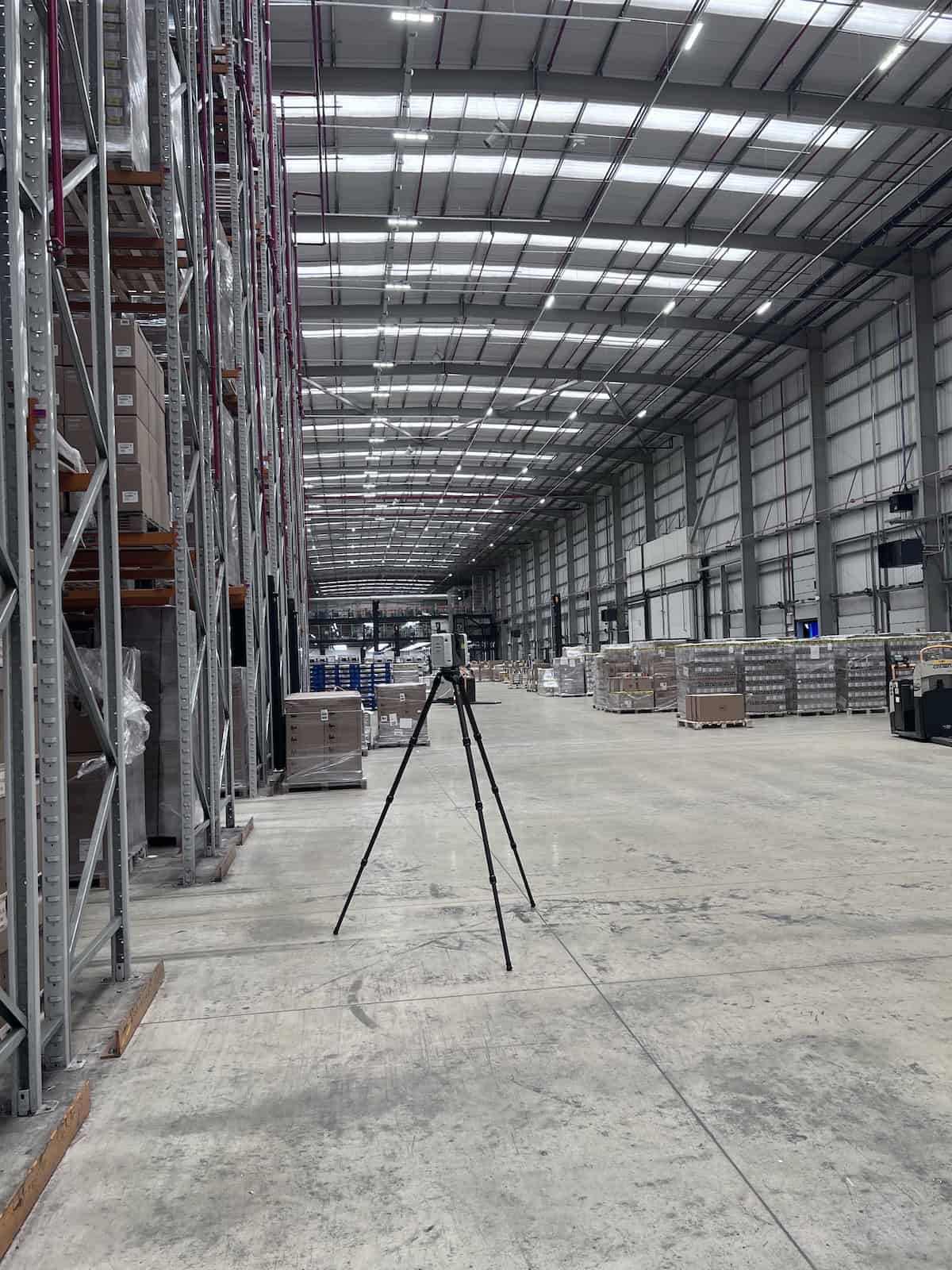
Laser scanning and point cloud surveys are closely related techniques used to create precise 3D digital models of objects or environments. They are commonly used in construction, architecture, engineering, and heritage preservation, as well as in monitoring changes in natural environments.

Laser scanning works by using a laser beam to capture accurate distance measurements, producing a ‘point cloud’—a dense set of 3D points that represent the scanned area or object.

What are the benefits of laser scanning and point cloud surveys?

Data from laser scanning and point cloud surveys can be transformed into detailed 3D models, CAD drawings, and other visualisations for a wide range of applications including for:

  • Construction & Architecture
    to create 3D models, capture precise dimensions and geometry, monitor construction progress and reduce the need for on-site modifications
  • Engineering & Infrastructure
    to capture details of complex structures, structure and infrastructure health monitoring and underground utility surveys
  • Heritage & Culture
    to aid in preservation and restoration projects, to create virtual tours and digital archives and, in the event of a natural disaster, aid in reconstruction

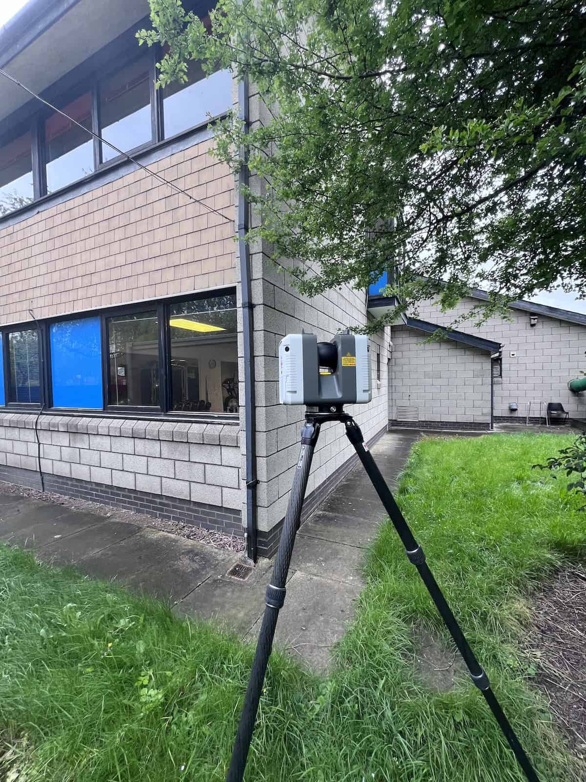
Laser scanning and point cloud surveys provide accurate, detailed, and comprehensive 3D data, especially in situations where traditional methods are insufficient or time-consuming.