Chartered Surveyors &
Commercial Property Experts

Measurement & Data Capture

Drone Surveys and Reports.

Feefo logo

A drone survey, also known as an unmanned aerial survey, uses drones equipped with cameras and sensors to collect data for surveying and mapping purposes. This data is then used to create reports and visualisations of the surveyed area; it can also be used to create 2D or 3D models, maps, and accurate images of the surveyed area.

Drone Surveys serve a wide range of applications including:

  • Topographic Surveys:
    Mapping terrain and landscape features for planning and analysis.
  • Building Inspections:
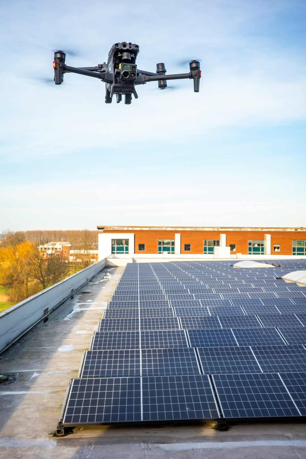
    Evaluating the condition of roofs, facades, and other structural elements.
  • Land Surveys:
    Defining property boundaries and measuring land areas with precision.
  • Construction Site Monitoring:
    Tracking project progress, managing logistics, and ensuring safety compliance.
  • Infrastructure Assessment:
    Inspecting critical assets such as bridges, power lines, and transportation networks.
  • Environmental Monitoring:
    Observing vegetation, water resources, and other ecological indicators.
Aerial survey

Key Benefits of Drone Surveys:

  • A more cost-effective way to collect survey data compared to traditional methods
  • Eliminate the need for workers to access hazardous areas by providing easy access to difficult-to-reach areas safely.
  • Provide precise measurements and detailed imagery.
  • Provide fast turnaround.

In summary, drone surveys are important because they provide fast, accurate, and cost-effective data collection for a wide range of applications, improve decision-making and enhance safety.

A Drone Survey Report may include:

  • Imagery and Maps – topographic maps, or 3D models.
  • Area calculations, elevation data, volume estimates, or / and structural assessments.
  • Key insights, anomalies, or areas requiring further attention.
  • Suggested actions based on survey results.
  • Raw data, metadata, and any relevant technical documentation.